Venture off the beaten city path and leave the mainland for an eye opening journey that might leave your calves aching but soul refreshed. All you need are a pair hiking boots and a healthy dose of sunscreen, insect repellant (optional) and a strong desire to burn some calories. We have gathered a list of 10 walking trails in Singapore that will take you on an adventure to a whole new world within our modern city.
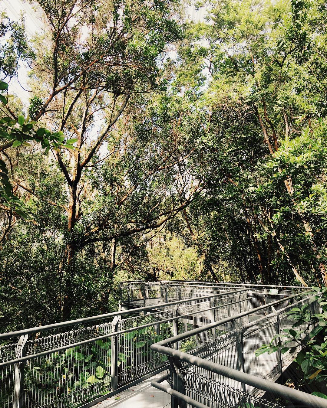
Spanning over 10km of flora and fauna connecting parks and nature reserves, the Southern Ridges trail is not a hiking destination itself but a scenic route that takes you through an exciting variety of landscape and terrain. The complete 4 to 5 hour trek will take you through Mount Faber Park, Telok Blangah Hill Park, HortPark, Kent Ridge Park and Labrador Nature Reserve. If you are looking to do a shorter version, don’t miss the artistic, distinctive wave-like structure of Henderson Waves, Singapore’s tallest pedestrian bridge which connects Mount Faber Park to Telok Blangah Hill Park.
Location: Southern Singapore
How to get there (Henderson Waves):
By Bus: take bus service number 131, 145, 176 or 648 alight at bus stop along Henderson Road, take the staircase up to Mount Faber Park.
By Car: Parking is available at Mount Faber Carpark D (17 lots) and Telok Blangah Hill Park Carpark 1 (17 lots) & Carpark 2 (total 39 lots)
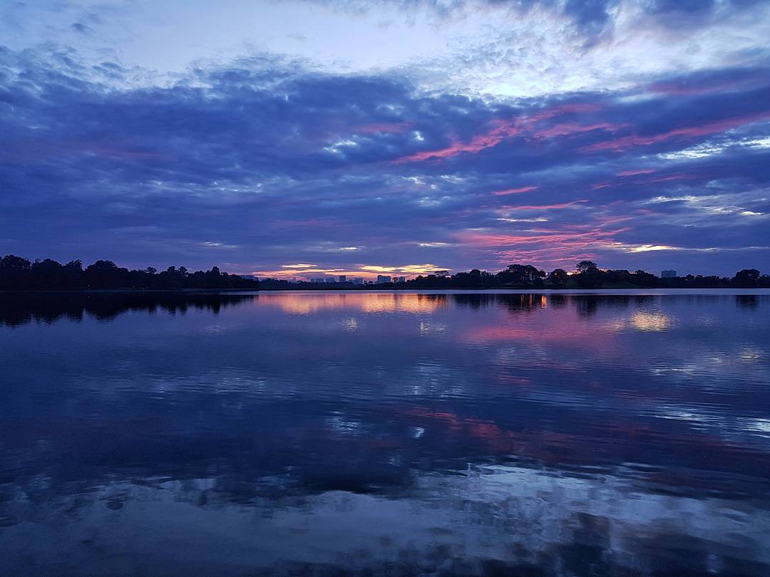
MacRitchie Reservoir Park
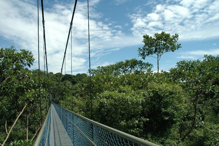
Singapore’s first reservoir and home to nature lovers and exercise enthusiasts, many of us might associate MacRitchie Reservoir with our school’s annual cross country races. But venture a little further and you will find that this park has so much more to offer. From panoramic views along it’s treetop walk to serene boardwalks along the reservoir’s edge, there are a myriad of trail options with varying difficulties that cater to every trekker. You can also expect to bump into flying lemurs and long-tailed macaques going about their every day activities in their natural environment.
Location: Along Lornie Road
How to get there: Nearest Bus Stop 51071 (Bus 52, 74, 93, 157,130, 132, 156, 157, 162, 162M, 165, 166, 167, 852 and 855, 980), Nearest MRT Caldecott MRT (CC17)
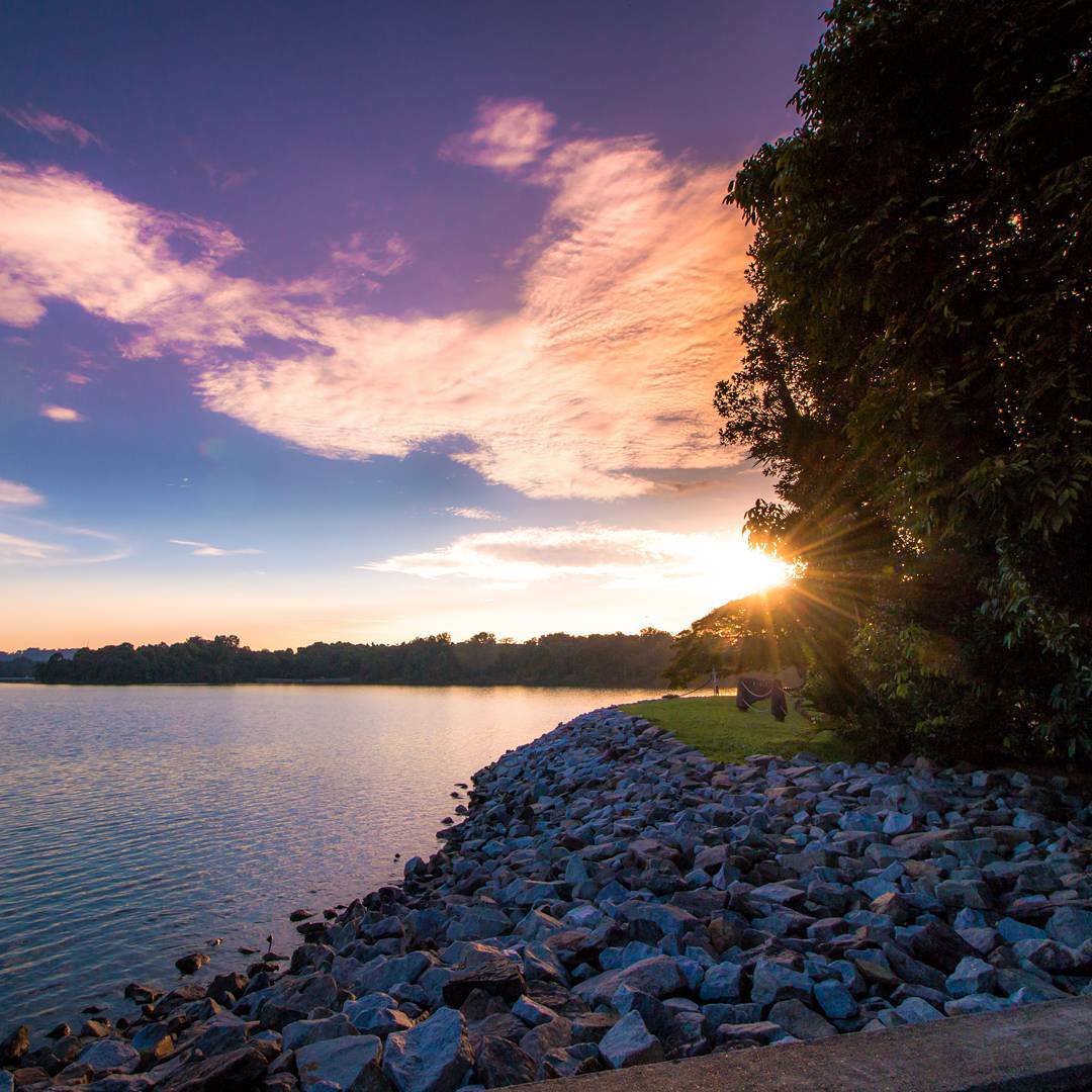
Labrador Park
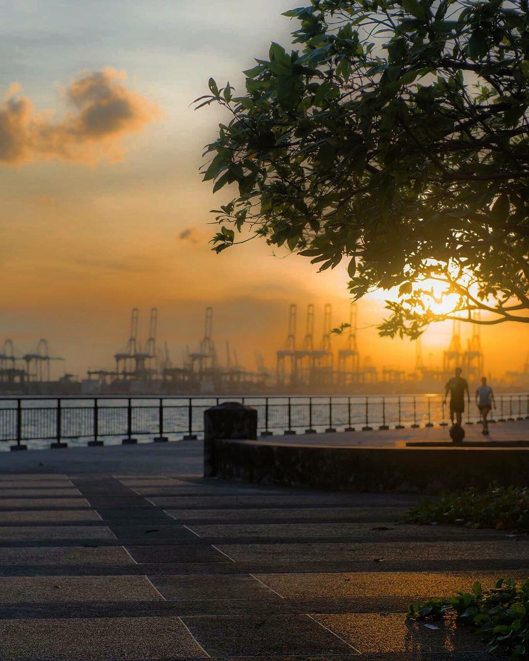
Bird watchers and shutterbugs would love this trail for its picturesque coastal views and abundant wildlife. The seaside trail will bring trekkers through secondary forests, cliff-side vegetation and swampland. Don’t be surprised if you have some bushy tailed companions scurrying alongside you on this trail – a large squirrel population are wildlife residents in this park.
Location: Along Labrador Villa Road
How to get there: Alight at Labrador Park MRT station
Fort Canning Park

In recent years, it’s expansive lawns and central location has made Fort Canning a popular host for concerts and art performances like Ballet Under the Stars and Shakespeare in the Park. Beyond that, one can also discover Singapore’s history while exploring this hilltop santuary that is Fort Canning Park. The iconic park is home to ancient artefacts and rich heritage within its sprawling lush greenery, like the Battle Box, where the decision was made to surrender Singapore to the Japanese on 15 February 1942.
Location: Fort Canning Park is bordered by Hill Street, Canning Rise, Clemenceau Avenue and River Valley Road
How to get there:
By MRT:
You can alight at Clarke Quay Station (Exit E) or Dhoby Ghaut Station (Exit B).
For Clarke Quay Station: Come out from Exit E, turn left and walk along Coleman Bridge. Turn left again at the end of Coleman Bridge and head towards the pedestrian overhead bridge (100m away) along River Valley Road. Cross the overhead bridge and you will enter Fort Canning Park.
For Dhoby Ghaut Station: Come out from Exit B, cross Penang Road, turn left and keep a lookout for the tunnel leading to Fort Canning Park.
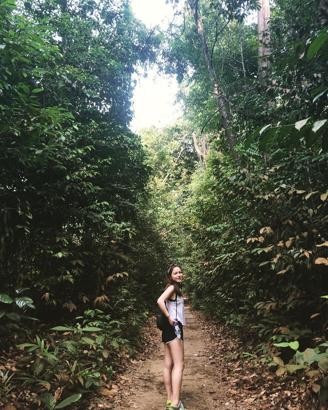
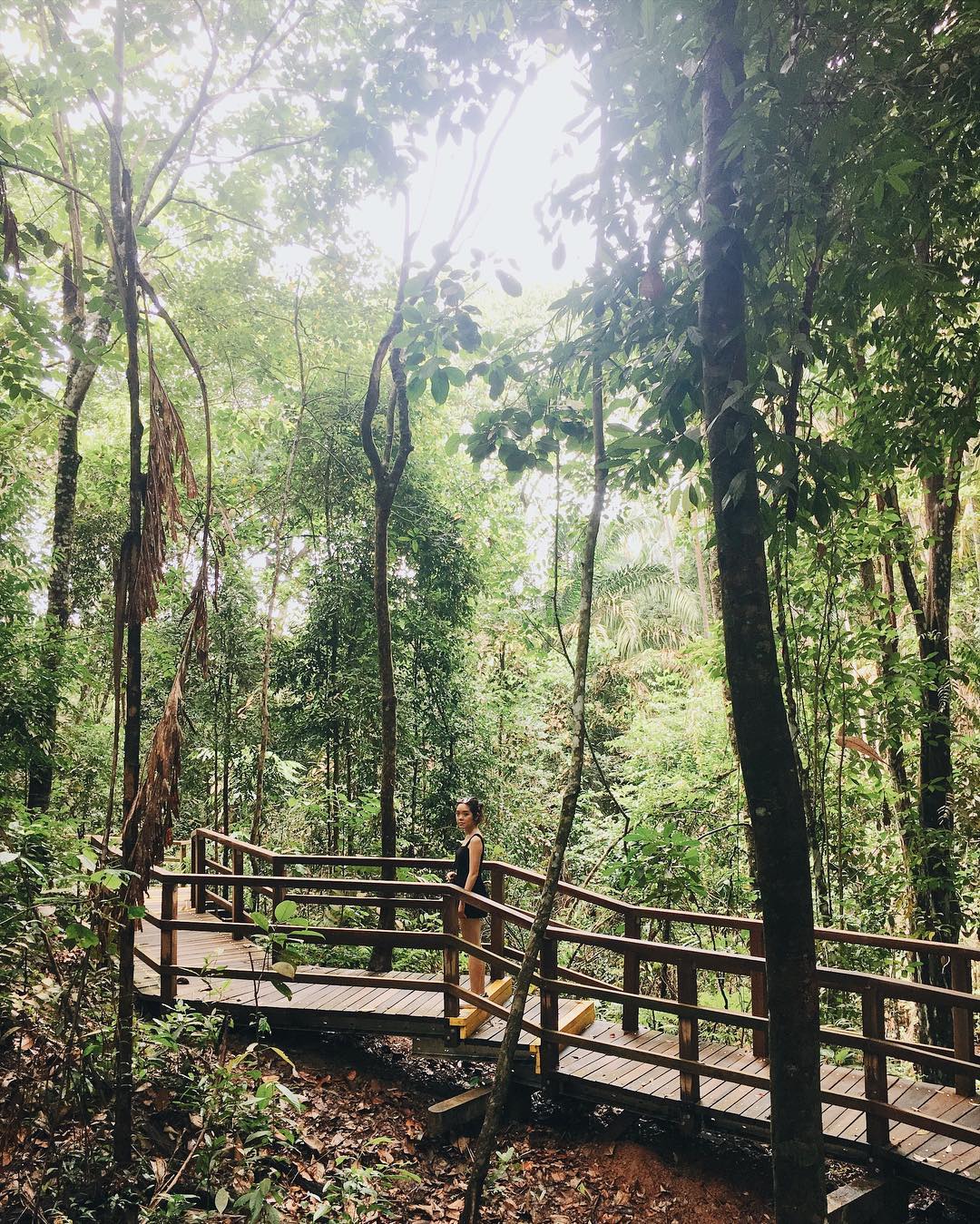
Bukit Timah Nature Reserve

Recently reopened to the public after a restoration project, Singapore’s highest peak (a grand 163 m!) is back to give one and all a good workout with its challenging climb. The popular Bukit Timah Nature Reserve is home to around 40% of our country’s (native) flora and fauna, such as the island’s one and only hill dipterocarp forest. Bukit Timah Nature Reserve was officially declared an ASEAN Heritage Park on 18 October 2011, making it a part of a prestigious regional network of 35 protected areas.
Location: End of Hindhede Drive
How to get there:
By bus: 67, 75, 170, 171, 184, 852, 961
Alight at Jalan Anak Bukit Road, opposite Beauty World Centre (Bus stop ID: 42109), or
Alight at Upper Bukit Timah Road, opposite Bukit Timah Shopping Centre (Bus stop ID: 42091)
By MRT: Alight at Beauty World MRT Station, take Exit A
Upper Peirce Reservoir
Escape the hustle and bustle, and relax in the serene surroundings of Upper Pierce Reservoir. Enjoy a leisurely stroll along the water catchment area, and do look out monkeys who might steal your trail bar right under your nose if you’re not careful.
Location: Along Old Upper Thomson Road
Getting there: Refer to Lower Peirce Reservoir below
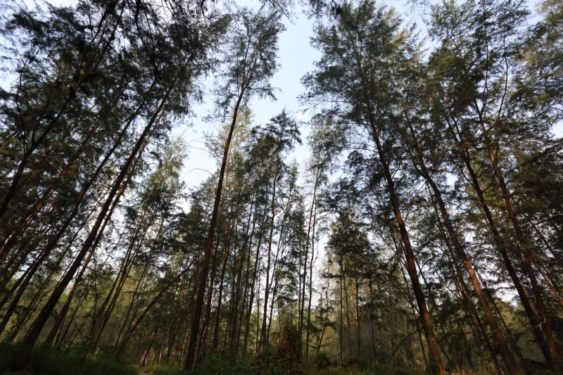
Lower Peirce Reservoir
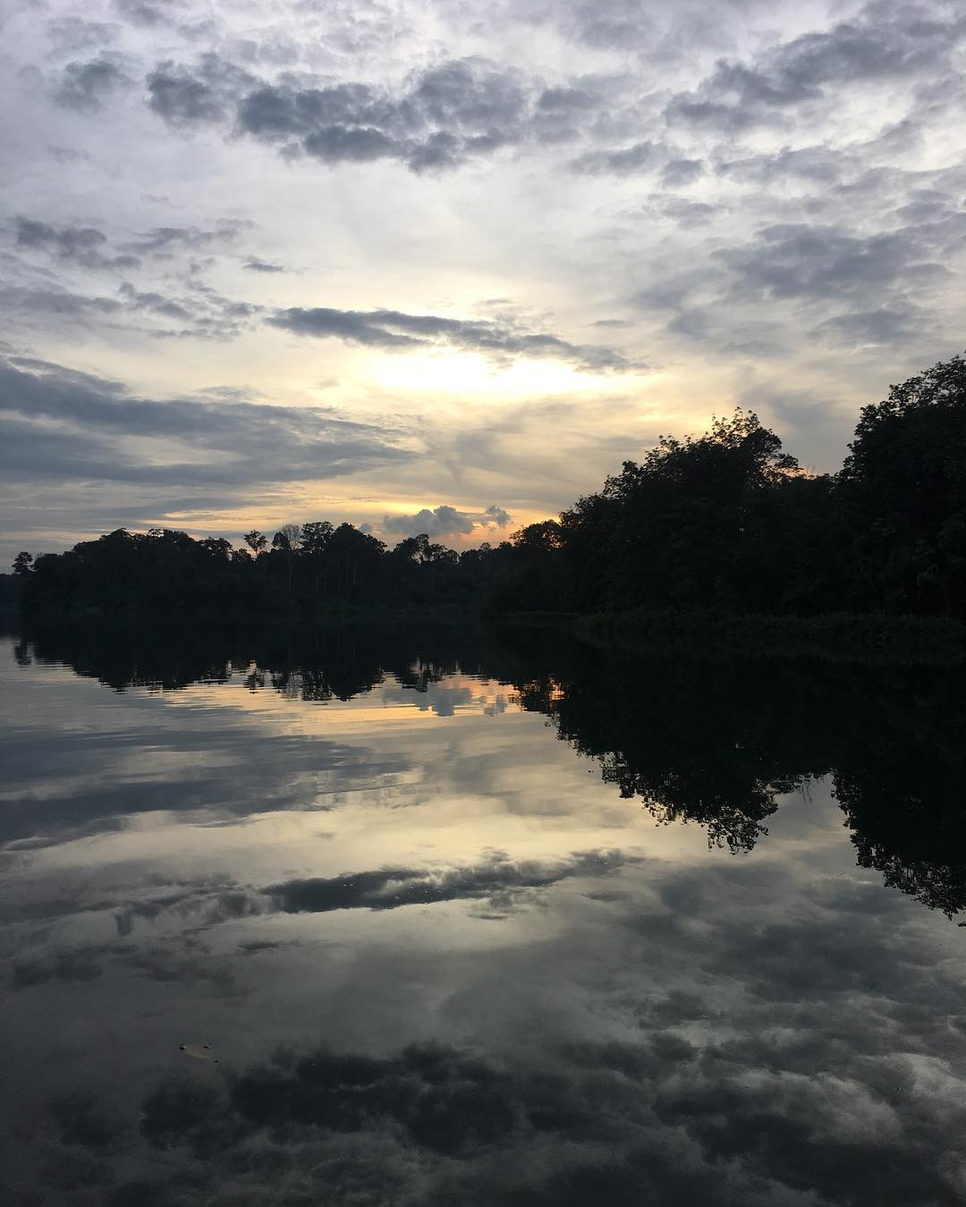
Continue from Upper Peirce to the Lower Peirce Reservoir trail, which takes you through the lush green forest and a 900-metre boardwalk along the edge of the reservoir. Enjoy captivating views of the lake and forest, and spot the rubber trees and oil palms from Singapore’s past plantations.
Location: Along Old Upper Thomson Road
Getting there:
By Car:
Follow the direction of Upper Thomson Road. Turn left before the traffic lights at the junction of Ang Mo Kio Avenue 1 into Old Upper Thomson Road. Follow the road until you see the entrance of the trail. Parking facilities are available along the road near the Casuarina Entrance.
By Bus:
Bus nos. 163, 167, 169, 855, 980. Alight at the bus stop nearest to the Sembawang Hill Food Court and walk along Old Upper Thomson Road towards Lower Peirce Boardwalk. The entrance to the trail (Casuarina Entrance) is about five minutes away.
Bukit Batok Nature Park


An ideal place for a serene nature walk, Bukit Batok Nature Park offers trekkers stunning views and crystal clear waters. This park was developed from an originally abandoned quarry site in 1988. If you’re feeling gung-ho, climb to look-out points that reach more than 10 storeys high for stunning views of the quarry and lush greenery of the secondary forest.
Location: Along Bukit Batok East Avenue 2 and Bukit Batok East Avenue 6
How to get there:
By Car: Park your car at the carpark along Bukit Batok East Ave 2
By Bus: Bus nos. 61, 66, 157, 178, 852 and 985. Alight at Bukit Batok East Ave 6.
Pulau Ubin
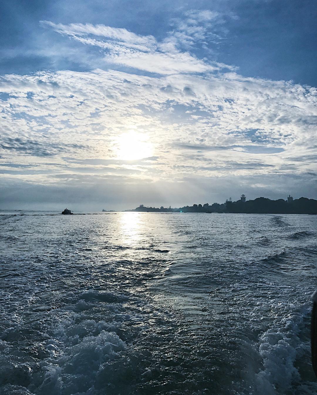
Jump on a bumboat at Changi Point Ferry Terminal and take a trip back in time, as you travel to this 1,020-hectare island that is home to Singapore’s last kampung villages. Pulau Ubin’s rich and natural cultural heritage lets visitors relive what life was like back in the 60s. Strap on a good pair of boots and explore the island’s rich ecosystems of Chek Jawa wetlands, a hodgepodge of six major habitats. Or if you’re up for a vertical challenge, make for Pulau Ubin’s Puaka Hill, the island’s highest peak which promises a breathtaking view at the top.
Location: Pulau Ubin
How to get there:
By bumboat from Changi Point Ferry Terminal.
Boat fare to or from Pulau Ubin is
$3 per trip.
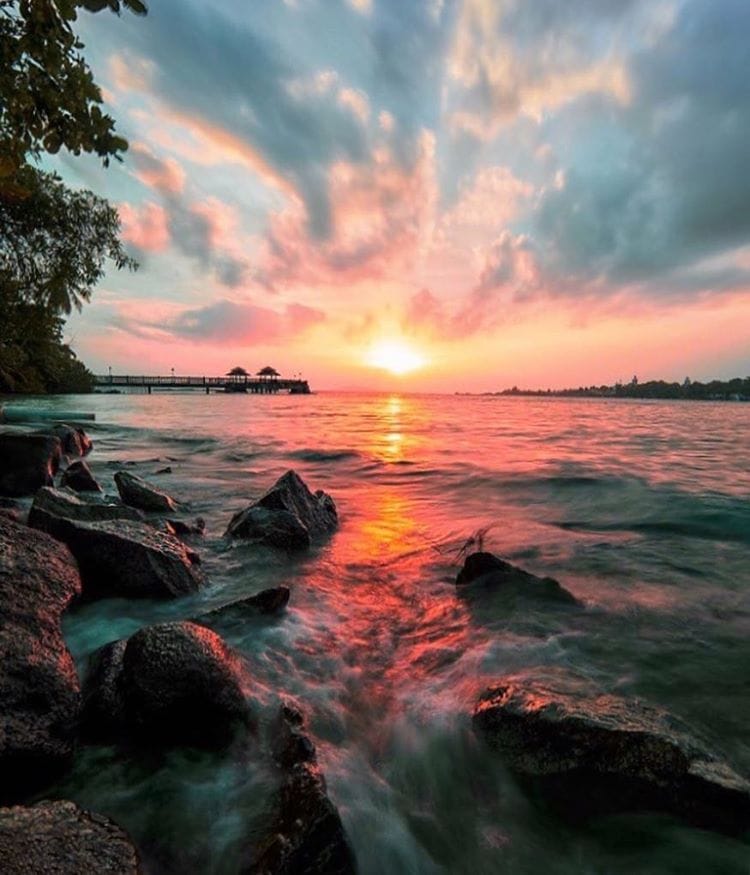
Coney Island
A hiking spot that quickly gained popularity for it’s untouched qualities and rustic charm, Coney Island was only recently opened to the public in 2015. The 45-ha island, also known as Pulau Serangoon, boasts newly built boardwalks that take you through forests and coastal mangroves. Nature lovers would be glad to know that the ecologically sustainable park has many environmental initiatives that focuses on conserving energy and water, recycling and retaining of the natural elements on the island. Do note that there is no water or electricity on this undeveloped land, so be sure to pack a healthy supply of h2o if you are planning on trekking here.
Location: Beside Punggol Promenade Nature Walk
How to get there: Starting at Punggol interchange, take bus 84 to Punggol Point Park/Punggol Settlement. Walk about 500m east along the Punggol Promenade Nature Walk to get to Coney Island West Entrance.
